Barbados Map
Show map
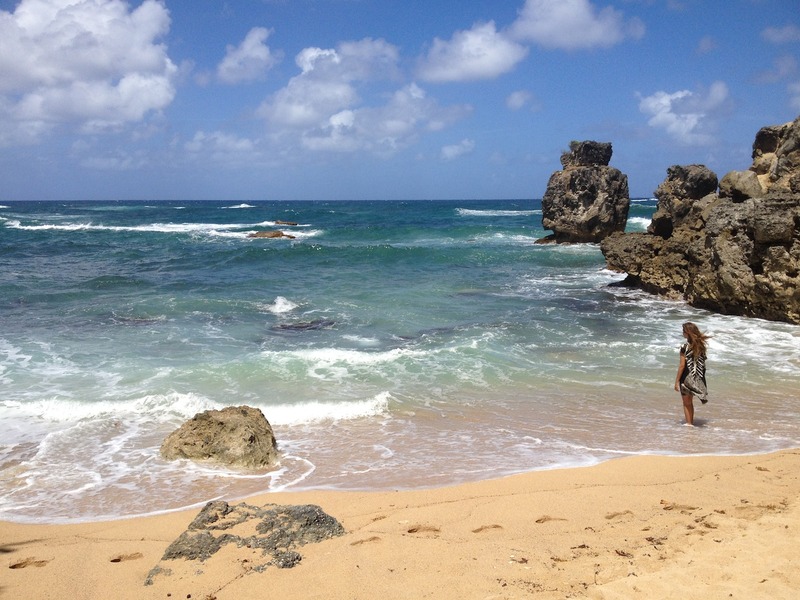
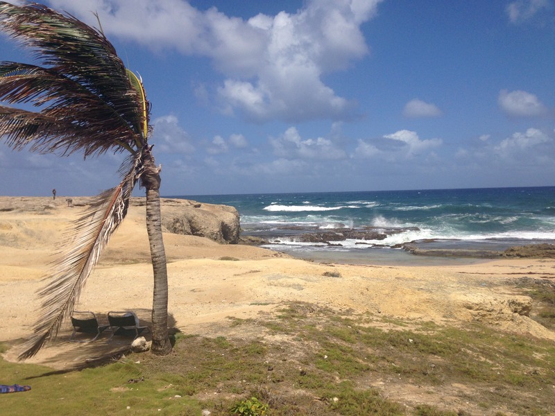
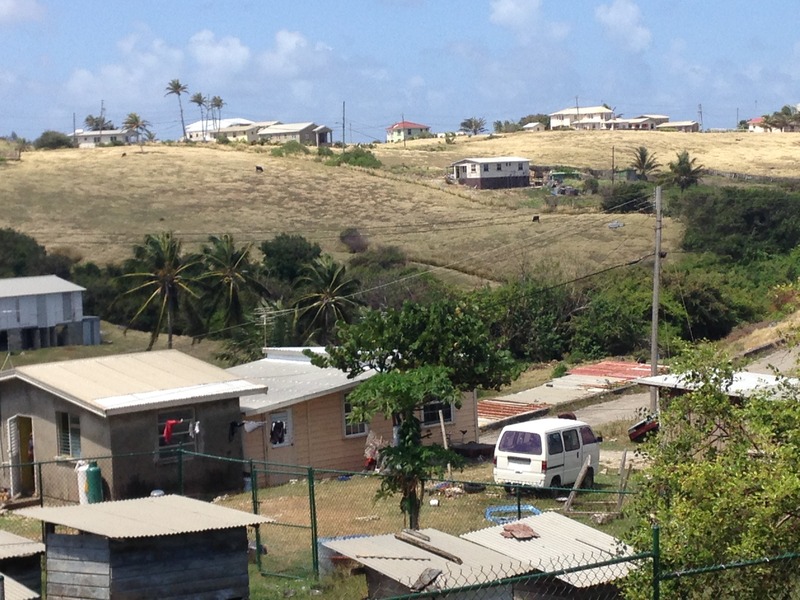
The island is just 34 kilometres in length, making it easy to explore. It is crisscrossed with rather a lot of roads, many in poor condition, particularly in the east and northern parts of the island. In general, the southern and western coasts are most popular with visitors, enjoying the best beaches facing towards the Caribbean Sea, whilst the eastern coast, facing the Atlantic, has wilder beaches with much bigger waves, but fewer visitors. Getting around the island is easiest by public transport or by hire car, though there are also taxis for hire. Barbados does not have good pavements, however, so walking is generally along the roads, and care must be taken with traffic.
There are many interesting historical sites to visit in Barbados, as well as an enviable array of restaurants and bars. This interactive map of Barbados will help you find your way around the island. Simply select the type of place you are looking for from the 'Other places on Map' menu, and markers will appear on the map. Enjoy!